
Dayu Radar Level Gauge Aids Guilin Flood Control: A Tech Marvel You Won't Believe
Recently, Guilin in Guangxi encountered a once-in-a-century flood peak, with torrential waters surging and the city's safety hanging by a thread. However, in this battle against nature, Guilin demonstrated unprecedented resilience and wisdom, largely thanks to a high-tech flood control tool called the "radar level gauge."
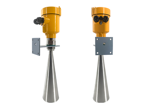
The radar level gauge for flood control, a term that sounds highly technological, has actually been making its mark in flood prevention for some time. Unlike traditional water level monitoring methods, it emits radar beams to measure the distance between the water surface and the radar, thereby accurately calculating the water level. This non-contact measurement method not only greatly improves accuracy but also operates reliably in harsh environments.
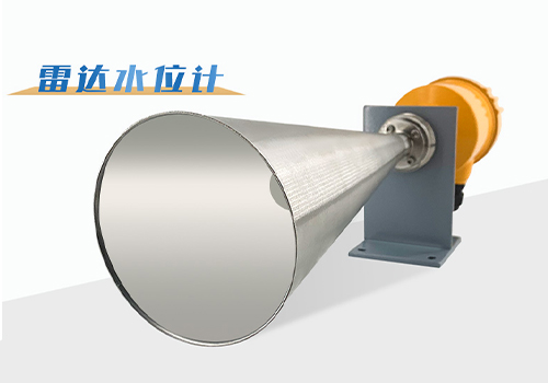
During this flood peak in Guilin, the radar level gauge for flood control played a significant role. Installed at various critical water bodies, they monitored water level changes in real time, providing valuable data support to flood control authorities. When water levels exceeded warning thresholds, the system automatically issued alerts, prompting timely action. This rapid response mechanism effectively prevented various hazards caused by rising water levels.