
New Drone Capability: Ultrasonic Depth Gauge Drives Innovation in Water Resource Surveys [Dayu Electronics]
In an era of growing emphasis on water resource management and conservation, how to conduct efficient and accurate water resource surveys has become a key issue. Recently, a drone equipped with an ultrasonic depth gauge has emerged as a new tool to address this challenge.
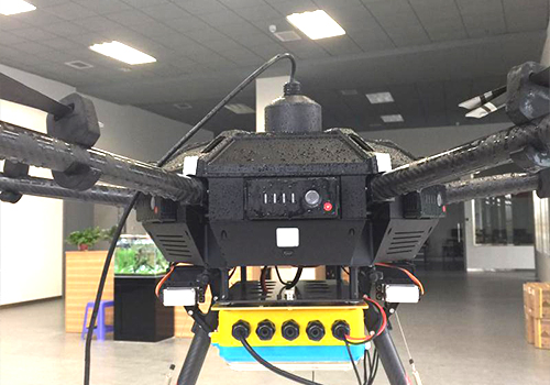
This drone integrates advanced ultrasonic depth measurement technology, enabling it to rapidly and accurately acquire depth information of water bodies during flight. By emitting ultrasonic waves into the water and receiving their echoes, the drone can calculate water depth in real time, providing robust data support for water resource surveys.
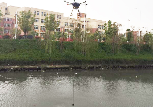
Compared with traditional water resource survey methods, the drone equipped with an ultrasonic depth gauge offers significant advantages. First, its high efficiency allows surveys to cover large water areas in a short time, greatly improving work efficiency. Second, high-precision measurement data ensures the accuracy of survey results, providing a reliable basis for water resource management. In addition, the drone can easily access hard-to-reach areas such as remote rivers and lakes, making surveys more comprehensive.
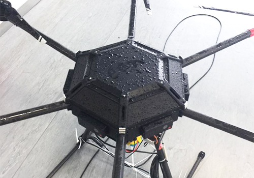
In water resource surveys, the drone equipped with an ultrasonic depth gauge has a wide range of applications. Whether in rivers, lakes, or reservoirs, this drone can perform depth measurement and data analysis. Additionally, this technology can be used to monitor water level changes, assess water body capacity, and analyze the distribution of water resources, providing strong support for water resource management and planning.
With continuous technological advances and expanding application fields, the drone equipped with an ultrasonic depth gauge will play an increasingly important role in water resource surveys. In the future, we have reason to believe that this new tool will provide strong technical support for better protection and management of water resources.