
Dayu Electronics: Ultrasonic Multi-Beam Technology Empowers Accurate Underwater Terrain Mapping
In fields such as underwater engineering, resource exploration, waterway regulation, and environmental monitoring, obtaining high-precision underwater terrain and landform data is the foundation for decision-making and construction. Traditional single-point measurement methods are inefficient and have limited coverage, making it difficult to meet the dual demands of modern surveying for both efficiency and accuracy. In response to the core question from surveying companies—"How to scan underwater terrain and landforms?"—Dayu Electronics provides a complete and efficient professional solution based on mature ultrasonic multi-beam underwater obstacle-avoidance sensor technology.
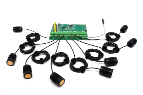
Achieving accurate restoration of underwater terrain is not a task for a single device alone but a systematic engineering effort. Dayu Electronics' solution consists of two key components: a multi-beam bathymetric sensor and a high-precision positioning system.
First, the core bathymetric device uses a split-type 16-beam ultrasonic sensor. This sensor simultaneously emits 16 independent ultrasonic beams underwater and receives their respective echoes, thereby acquiring real-time distance (depth) data from 16 measurement points at once. By continuously moving and measuring, a large number of discrete depth points are connected, allowing for rapid profiling of the underwater cross-section. The multi-beam design significantly improves measurement efficiency and data density, and compared with single-beam devices, it more faithfully reflects subtle undulations and complex features of the underwater terrain.
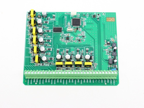
However, depth data alone cannot form a complete topographic map. Each depth point must be tied to an accurate geographic location. Therefore, the second part of the solution is the RTK (Real-Time Kinematic) high-precision positioning system. RTK provides real-time longitude and latitude coordinates with centimeter-level accuracy for each measurement point. During operation, the depth data obtained by the 16-beam sensor and the positioning data provided by RTK must be collected synchronously and transmitted uniformly to the data processing software.
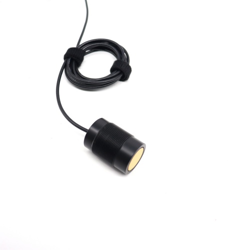
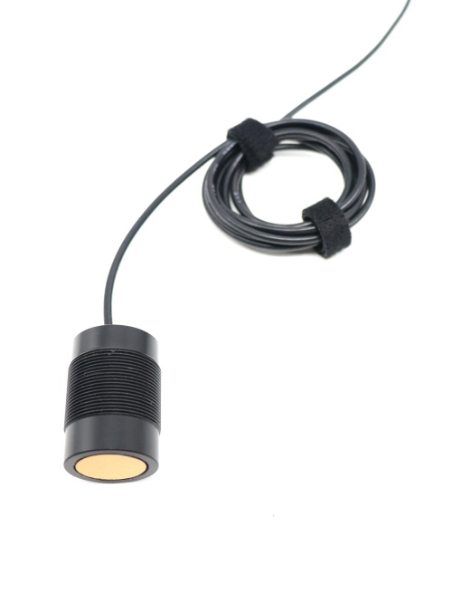
Finally, professional software fuses the massive spatiotemporally synchronized "position-depth" data to generate a high-density 3D point cloud. After further filtering, classification, and modeling, the point cloud data can be output as an intuitive and accurate underwater digital terrain model (DTM) or contour map, thereby fully "drawing" the true face of the underwater terrain.
Dayu Electronics understands well that reliable underwater surveying depends on stable hardware and scientific operational procedures. Our 16-beam sensor offers excellent anti-interference capability and sounding accuracy, adapting to a variety of water quality environments; the entire system design balances integration and field operation convenience. We not only provide advanced equipment but also offer full-process technical support—from solution design and equipment configuration to data processing guidance—helping surveying units complete various underwater surveying tasks with efficiency and precision.