
Acoustic Model Construction and Error Compensation Method for Underwater Ranging Sensors [Dayu Electronics]
As a domestically designed integrated sounding system specifically for unmanned surface vehicle (USV) platforms, the M80 echo sounder redefines the standards for underwater terrain measurement in coastal shallow waters and inland river basins through the deep integration of the acoustic Doppler effect and intelligent algorithms. Its core value is reflected in three dimensions: high-precision data acquisition, adaptability to extreme environments, and modular mission expansion, making it a key piece of equipment in marine engineering, water conservancy engineering, and environmental monitoring.
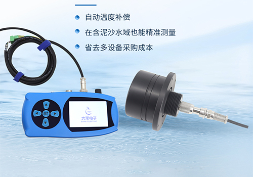
The M80 echo sounder, leveraging acoustic ranging principles and intelligent design, has become a core tool for underwater measurement from USVs. It employs dual-frequency sonar technology at 200kHz/50kHz, where the high-frequency band can penetrate 50-meter shallow waters to identify 0.3-meter-scale reefs, while the low-frequency band is suited for deep-water detection down to 500 meters, with a 40% improvement in bubble interference resistance over traditional equipment. The device integrates a dynamic sound velocity correction module that collects water temperature and salinity data in real time, and combined with international standard sound speed formulas, keeps measurement errors within ±0.1 m/s, ensuring data accuracy in complex waters.
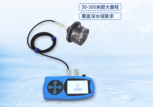
The M80 features a high-strength shell with an IP68 protection rating, operating stably in temperatures ranging from -20°C to 60°C. It supports RS485/4G/BeiDou tri-mode communication, transmitting water depth and position data to cloud platforms in real time. With a moving average filtering algorithm, the effective data rate reaches 98%. In a dredging project on Xiamen's inland river, the M80 completed a 2-square-kilometer survey within 8 hours using grid-based survey lines, generating a water depth map with 0.5-meter resolution and an average error of less than 0.15 meters, meeting the specifications for waterway engineering surveys.