
AI Intelligence Takes Campus by Storm || Experience a Different YANGO Campus Carnival
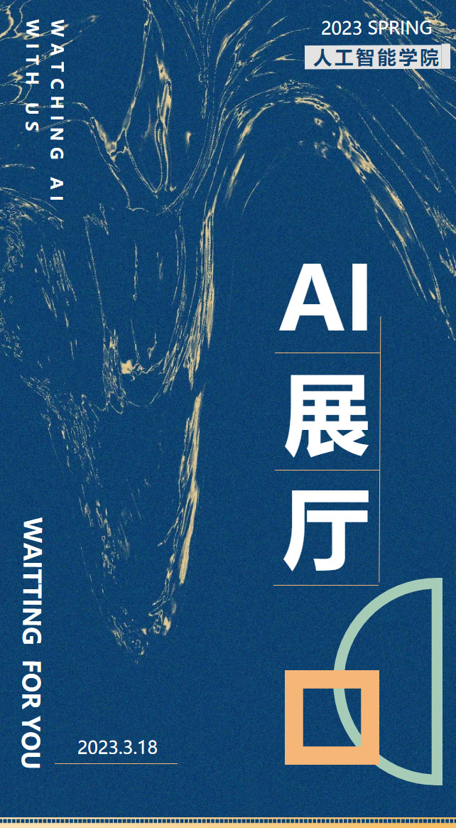
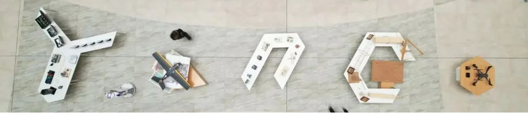
Did you notice the details in today's exhibition hall?
Looking down from above, we can see that the arrangement of the exhibits on site forms ahuge Yango University logo—YANGO

Electronic pets, music butlers, drones... all reflect the inventors' boundless imagination and hands-on practical ability, while providing visitors with the most intuitive display of technological achievements。
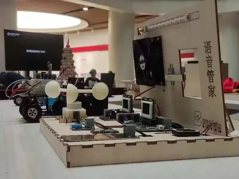
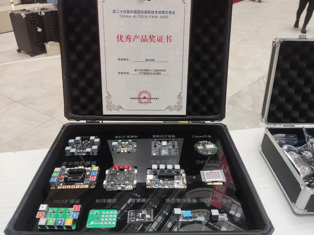
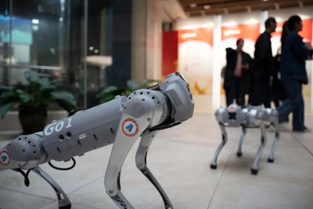
Close-up photos of some exhibits
This exhibition mainly focuses on products for three major application scenarios: HarmonyOS AI education kits for compulsory education, HarmonyOS training equipment for vocational education, and industrial digital transformation application systems. These projects are all products developed jointly by students led by school practical mentors, based on real needs from enterprise customers.
Explore the technology in each exhibition zone!
JOIN US ???
01
Y Zone
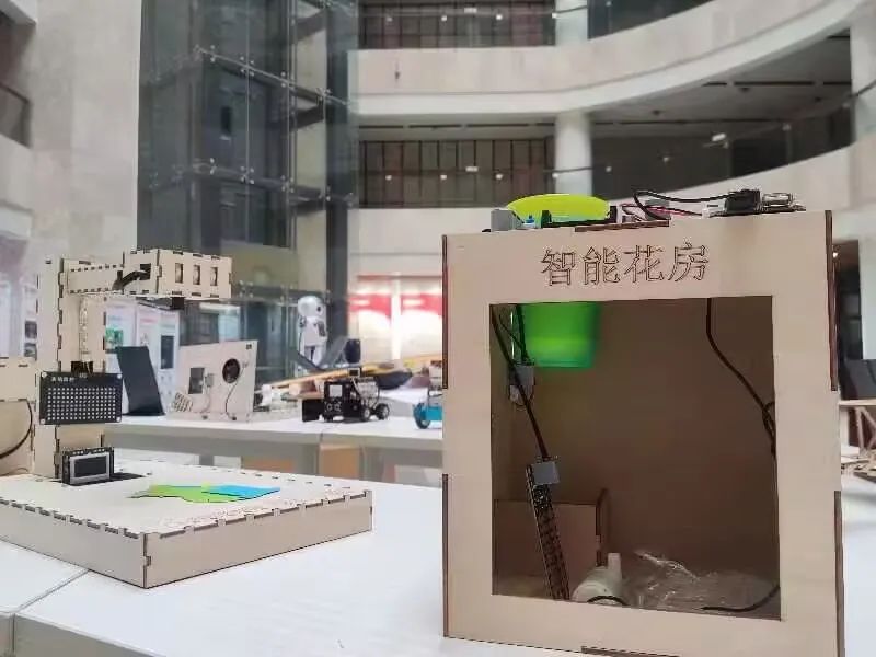
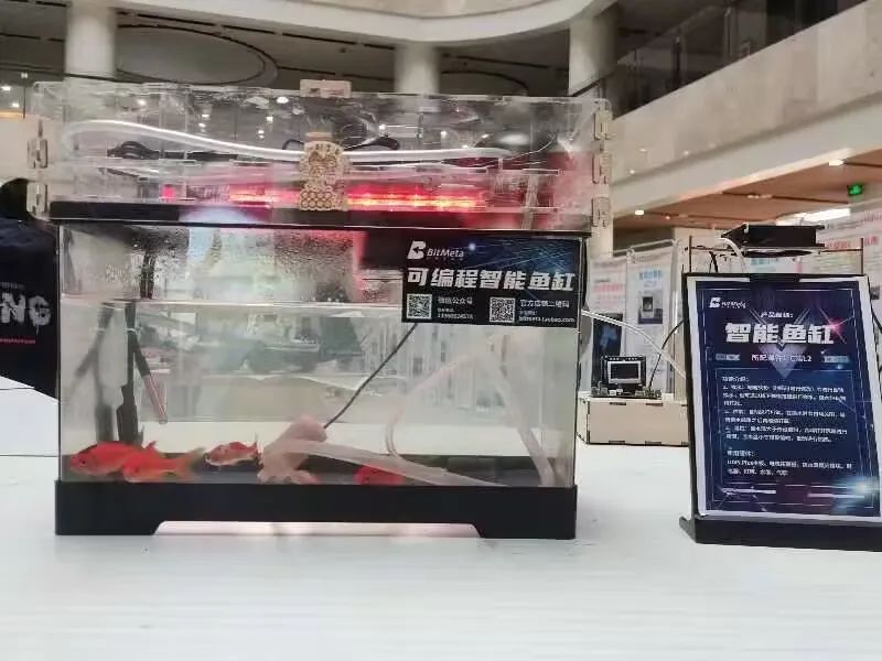
First, the Y Zone mainly displays HarmonyOS training equipment for vocational education, such as the HarmonyOS training box. The core hardware module uses the open-source OpenHarmony system, which is a domestically developed and independently controllable operating system. Current national policies also encourage and support enterprises and schools to carry out HarmonyOS adaptation, develop innovative applications based on open-source HarmonyOS, and build HarmonyOS ecosystem platforms. The smart fish tank uses software, hardware, and structural models to achieve automatic oxygen supply, temperature control, and water purification; the smart trash can uses AI image and sound recognition to achieve automatic waste sorting; this smart elevator uses AI facial recognition to automatically determine the passenger's floor and deliver them there. There are also many other creative products, and only a portion are displayed at this booth.
1
2
Actual exhibits
ARTIFICIAL
INTELLIGENCE
02
aZone

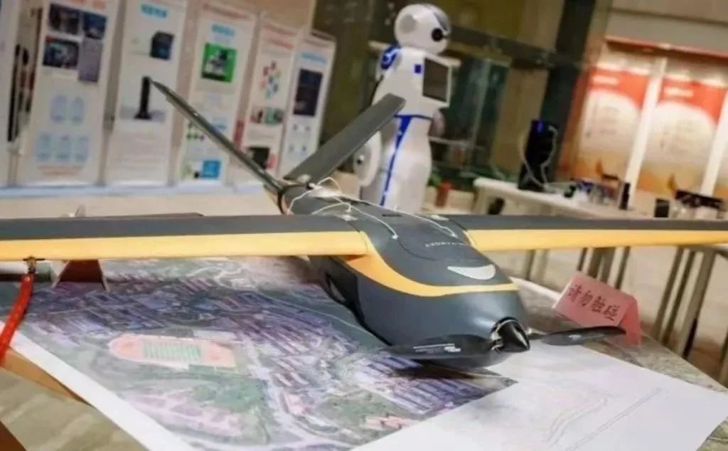
Zone A displays drone oblique modeling applications. Oblique photography technology is a high-tech developed in the international surveying and mapping field in recent years. It uses multiple sensors mounted on the same flight platform to capture images from five different angles — one vertical and four oblique — and processes them according to photogrammetry theory and principles to finally obtain a 3D model that is completely consistent with reality, bringing users into a real and intuitive world that matches human visual perception. Drone aerial survey features low operating costs, flexible mission execution, and high cost-effectiveness, and hasbecome the most effective new technology for solving such needs.
Close-up display

03
nZone
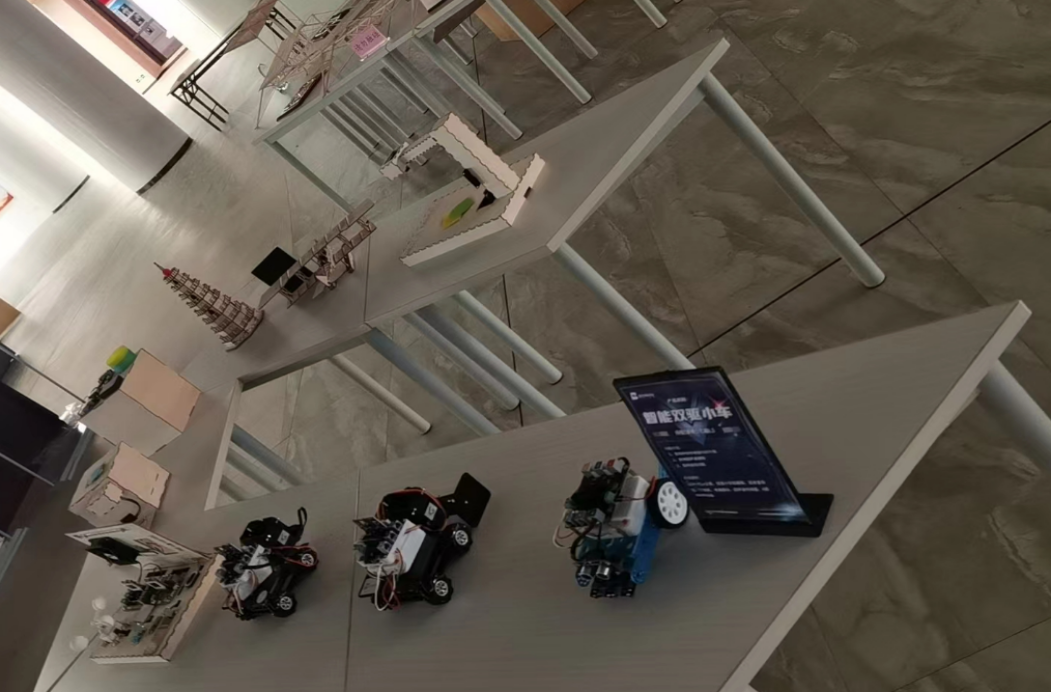
Zone N displays HarmonyOS AI education kits for compulsory education, mainly used for information technology classes and after-school services for primary and secondary school students. They are accompanied by our self-developed low-code programming platform, courseware, lesson plans, forums, videos, and other teaching resources, allowing students to learn programming and create corresponding creative works such as smart dual-drive cars, four-wheel-drive cars, smart voice butlers, and ordering machines. They can also be used to participate in related competitions. Our Yango Experimental Primary School currently uses these AI education kits every semester for after-school services and information technology classes, aiming to enhance teachers' and students' information technology and digital literacy.
1
2
Close-up display
ARTIFICIAL
INTELLIGENCE
04
GZone

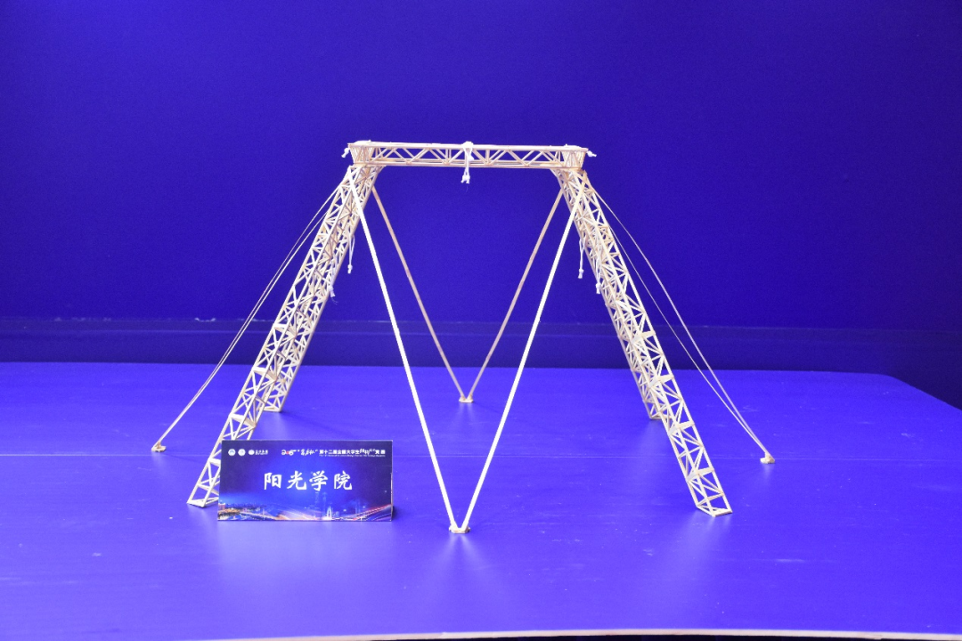
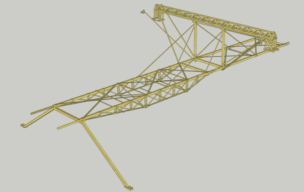
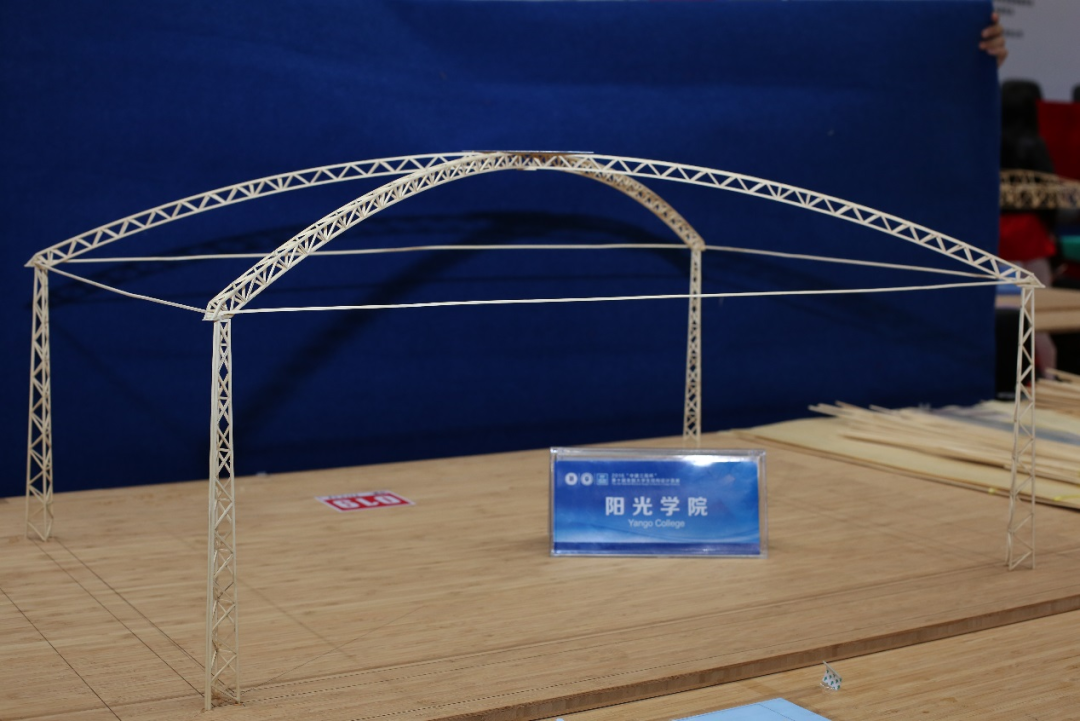
Zone G displays award-winning works from the Structural Design Competition for college students in the School of Civil Engineering. Each finished product is designed and fabricated while controlling the deformation of the model under the premise of ensuring model safety. On the basis of ensuring the strength, stiffness, and stability of the structure, safe, economical, and reasonable solutions are designed.
Close-up display

05
O Zone
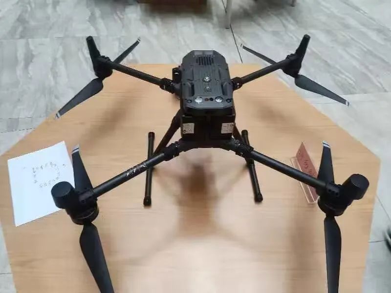
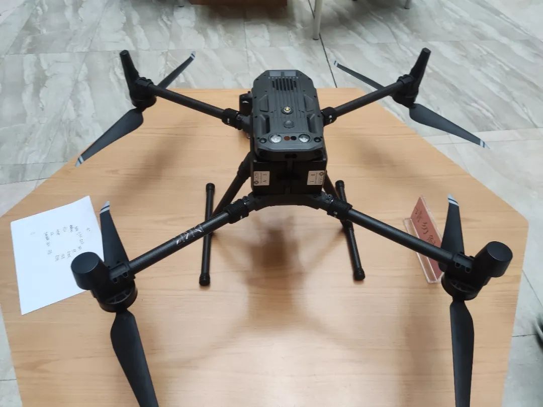
Zone O displays the DJI M300 drone. Aircraft body structure and endurance: the brand-new body structure and power system design are aimed at stronger and more stable flight performance, allowing you to face challenges head-on. To improve flight safety and stability, DJI industry-grade drones incorporate binocular vision and infrared sensors on all six sides of the fuselage, providing six-direction environmental perception, positioning, and obstacle avoidance capabilities. The system's maximum detection range is 40 meters, and the obstacle avoidance distance can be customized via the DJI Pilot App. Even in complex operating environments such as under bridges or above water surfaces, stable flight and obstacle avoidance are guaranteed. Maximum tilt descent speed: 7 m/s; maximum flight speed: 23 m/s; maximum flight altitude under ideal conditions: 7,000 meters; wind resistance: 15 m/s, approximately force 5–6 winds.
Close-up display★
This exhibition attracted many enterprise representatives, alumni representatives, parents, and students. Each exhibition zone of our college also had teacher volunteers on site to answer questions for the guests.
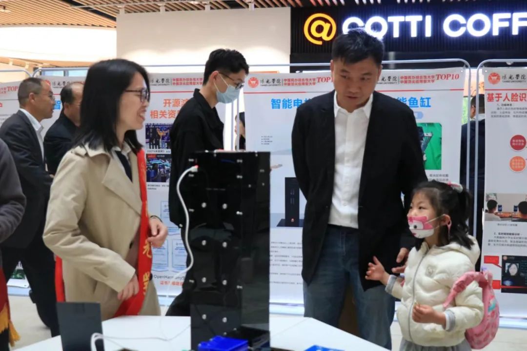
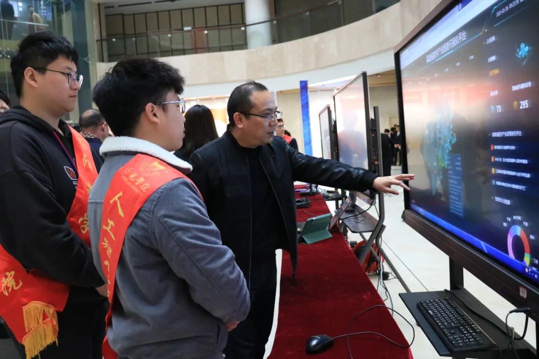

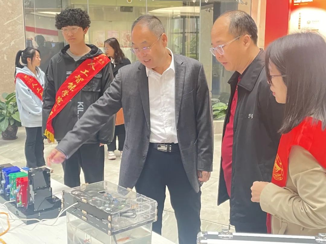
Here, feel the collision of wisdom and technology! The Future Technology Exhibition Zone combines professionalism with practicality to paint a new picture of intelligent living and learning. It is not only a platform showcasing students' practical achievements, but also an answer to parents' earnest expectations.

Original article link, please click:Future Technology Steals the Show, AI Ignites the Campus||Experience a Different YANGO Campus Carnival